

For any owner thinking about a future building project or sale, figuring out whether a piece of property has hidden value is an essential first step. Evaluating land development potential in contemporary property planning no longer necessitates expensive first consultations with expert consultants or quick on-site surveys. Rather, the initial investigation process has been simplified by digital assessment tools, allowing for the acquisition of important insights from a desktop or mobile device. It’s important to know what characteristics to seek for, how to differentiate trustworthy software from flimsy solutions, and how to interpret the results to make wise judgements in order to find an efficient online assessment tool to assess land development potential.
Property owners need to be aware of the precise elements that comprise a thorough assessment of land development potential before they can start looking for an appropriate platform. Geographical information systems, planning rules, environmental restrictions, and historical usage data should all be integrated into a single, coherent study using a strong online assessment tool. It is crucial to concentrate on tools that synthesise several levels of administrative and spatial data rather than just mapping apps when looking for such solutions. If you look for digital services that concentrate on property planning feasibility or spatial planning analytics, you’ll find solutions that can provide you a detailed picture of land development potential.
The most important factors to consider while evaluating possible platforms are the precision and breadth of data sources. Planning policy documents from local councils, official municipal records, and national geographic databases must all be immediately included into a high-quality online tool designed to assess land development potential. Cross-referencing a parcel’s boundaries with local land-use designations, greenbelt limits, conservation zones, and flood risk zones should be possible using the tool. Platforms that rely on out-of-date or generalised mapping data will not accurately depict land development potential, which may result in overconfidence or missed chances. Therefore, a crucial step in choosing an online assessment tool is to check the user manual or platform approach to ensure that data streams are updated on a regular basis.
The capacity to assess physical and infrastructure limitations that determine land development potential is another important element to look for in an online system. The physical characteristics of a site have a significant impact on whether construction is viable, even beyond official classifications. Topography, soil types, slope gradients, and current public highway access locations should all be analysed by an advanced evaluation tool. Additionally, since land development potential is greatly impacted by proximity to water, electricity, sewage, and telecommunications networks, it is critical to comprehend utility infrastructure. Because linking remote or confined plots to essential utilities can significantly impact overall project profitability, tools that combine infrastructure mapping offer a substantially more accurate assessment.
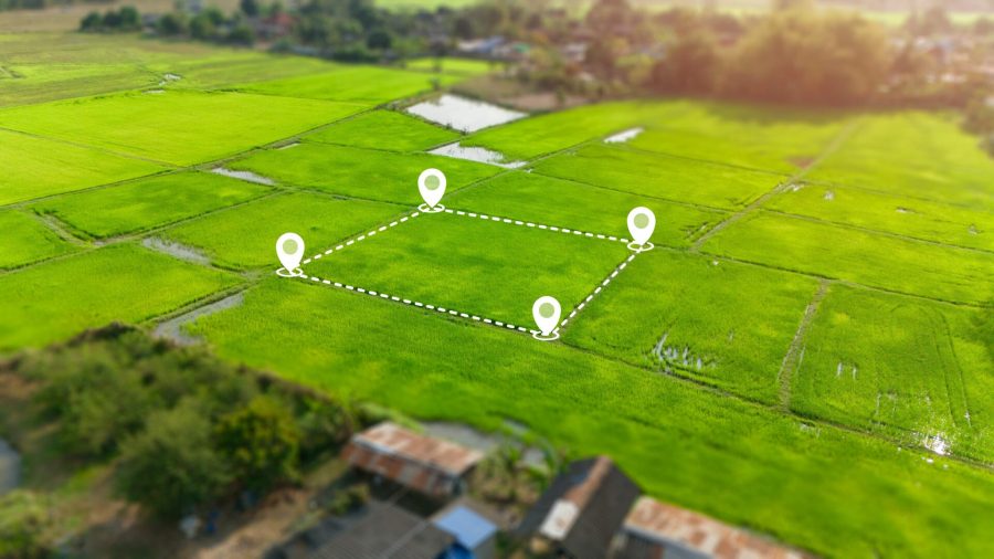
When looking for an online assessment program, ease of use and interface design are equally significant factors to take into account. It might be difficult for non-expert users to absorb the extensive geographic and legal information required to evaluate land development potential. The perfect software converts unstructured spatial datasets into easily understood visual overlays, straightforward feasibility scores, or organised summary reports. Look for systems that provide interactive mapping interfaces where users may enter specific land registry references or draw unique site borders while you compare the many digital possibilities. Customising inputs guarantees that the land development potential analysis accurately represents the size and extent of the property in question.
When evaluating land development potential, it is crucial to consider economic viability and the surrounding market context in addition to physical and planning constraints. High-level online assessment systems often incorporate neighbourhood density patterns, recent local planning approvals, and local market factors into their analysis. A digital tool can show local precedent by examining past planning licenses for nearby plots, providing property owners with a better understanding of the kinds of projects that local authorities are likely to embrace. Determining realistic land development potential is greatly aided by an online tool that takes into account the history of local planning applications.
It is beneficial to start your internet search for these diagnostic solutions by looking through independent software review hubs, industry blogs, and specialised property technology forums. Seeking user feedback from private property owners, independent surveyors, and land agents will give useful information on which assessment applications actually add value. Reviews that talk about the site reports’ accuracy, processing speed, and ease of use should be carefully read. When it comes to producing accurate, actionable summary reports that save users time during the initial feasibility phase, a trustworthy program that measures land development potential will regularly receive positive comments.
Before making a more significant commitment, trial periods and basic search levels provide a great method to assess an assessment tool. Users can test sample addresses or conduct initial searches on a number of property analysis services without having to pay anything right away. Property owners can directly examine how various platforms determine land development potential for a particular location by taking advantage of these trial chances. Examine the platform’s ability to accurately identify site restrictions, the fluidity of the interface, and the clarity of the end summary’s description of the land development potential during a test run.
The versatility of the digital service’s output possibilities must also be taken into account. An online assessment tool should generate exportable documentation that may be shared with architects, financial consultants, or local planning officers, rather than just displaying data on a screen. The assessment of land development potential is greatly enhanced by thorough site summary reports that compile spatial maps, policy references, and constraint lists into a single downloadable document. Subsequent conversations with planning authorities or potential buyers are much more fruitful when the document is portable and well structured.
Even while online digital systems are incredibly quick and convenient, consumers should have reasonable expectations about what an automated assessment can do. Digital feasibility platforms are an essential initial step in comprehending land development potential since they are excellent at showing preliminary restrictions, policy overlays, and spatial characteristics. However, no digital algorithm can completely substitute formal pre-application guidance from local planning authorities, structural engineering evaluations, or expert on-site inspections. Based on the initial land development potential shown, the perfect online tool acts as a robust diagnostic engine that expedites preliminary research and assists owners in determining whether investing in comprehensive professional surveys is justified.
In conclusion, a methodical strategy centred on data freshness, coverage breadth, and analytical depth is necessary to select the best online assessment tool to analyse land development potential. Property owners can obtain a comprehensive grasp of their site possibilities by looking for platforms that seamlessly integrate physical constraint mapping, infrastructure access, municipal planning policies, and local planning precedents. Software that provides concise, useful insights can be found by using free trials, reading independent user evaluations, and looking at sample output reports. Property owners can make decisions on land development potential with assurance, clarity, and a solid understanding of their property’s capabilities thanks to the comprehensive analysis offered by a high-quality digital tool.